Showing posts with label cascade volcanoes. Show all posts

Thursday, May 17, 2012

Mount Rainier: Gib Ledges to Fuhrer Finger.

The Fuhrer Finger, just left of the sunlit rocky ridge.
Exploring new routes on Mount Rainier is an exciting challenge.  This trip Matt and I were joined on our Cascade crusade by some friends from Tahoe, Corey Champage, Mike Carkill and Eric Seel who had never been on the peak.  They were psyched to say the least.

We wanted to get on the mountain and try to ski as soon as we could, but our weather window looked marginal.  We packed our bags, loaded Mike's truck and set off for Paradise.  We'd camp at Muir, climb and ski if we could the next day but probably have to wait another day for the wind to die.

Matt and the author scoping the ascent route.  Photo: Eric Seel.
Clouds filtered in and out as we made our way up the Muir Snowfield.  The temperatures were perfect for skinning, but we knew it was cold up top.


At Muir the temps were cold, but the scenery was amazing as usual.  We enjoyed a hot meal and went to bed realizing if the winds didn't drop we would be waiting another day.

Mount Adams from Camp Muir.  The Tatoosh range is capped by clouds in the foreground.  Photo: Eric Seel.

With cold temps and high winds we wouldn't need to get up early.  We woke up well after dawn and the wind was still howling.  


Shifting gears, we called off our climb to the upper mountain and instead went up to scout the route. 


Matt and Zeb checkin out the route.  Photo: Eric Seel.

Wind blowing snow off the top of Rainier as we scamper back from our scouting mission.


After inspecting the Gibraltar Chute and Ledges we decided that the icefall above the chute was way too active to climb that route.  The Ledges route was in fine shape and would allow us to move fast.  And since none of our team had climbed either route, we were happy to get on something new.
A small ice fall on the Nisqually Ice Cliff.

With another cold forecast, but lower winds from the Northwest, we set out the next morning fairly late.  10 is hardly an alpine start, but who needs that when temps on top are going to be -2 Fahrenheit and the wind will be 20 mph?


Corey and Zeb top out on the Col before the Ledges.  Photo: Eric Seel.

The start of the Gibraltar Ledges route.  Photo: Eric Seel.


Above the ledges, but below the top of Gibraltar. 

Corey, Matt and Seel climbing above Gib Rock.


On top with Mt Adams in the background.


Matt skis off the top.  Great firm, winter snow.
Corey celebrates a few sweet chalk turns.


Matt looks into a deep one.
The author makes a few turns on the Nisqually Glacier.

The author dropping into the clouds on the Fuhrer Finger. Photo: Eric Seel.

Skiing out the Wilson.  We reconnected with the Nisqually Glacier and skied all the way to the Nisqually Bridge at 3,900'.  10,500'+ descent, yeehaaa!


Tuesday, May 1, 2012

Mount Hood: the PNW gets weirder

A strange tree in the Pacific Northwest. Photo: Matt Paul.
The Pacific Northwest gets stranger by the minute.  Or maybe just stays stranger by the minute.  The forecast for 4/29 didn't look remotely good for climbing a decent sized mountain like 11,249' Mount Hood.  My experience in the Northwest has led me to believe that usually the weather is worse than the forecast lets on.  Taking these things into account we made our trip plan for Hood thinking the snow would be microwaved slop, kept soggy by heat trapped in the clouds all day.  We figured we might as well sleep in a bit, catch up on some zzz's, have a civilized cup of coffee then punch out 7,000' vert on Hood and ski down.  Good plan, till we got to Hood River.

When we arrived the sky went blue-bird.  We were psyched, but we realized that we might have blown our timing for getting decent snow quality.

Just a puff of cloud on the summit of Mount Hood.


We knew we would have to make haste to get our skis on the snow before it all turned to mush.   But as soon as we reached the trail head we hit a stumbling block: there was no snow at the trail-head. We plowed through a few hundred vert on dirt trails.

"I like walking on dirt in ski boots!"
As soon as we hit consistent snow, we picked up the pace.  Glimpses of Hood peered through the burned out forest as we gained the ridge heading toward the Cooper Spur, our chosen climbing route.

The torched forest was beautiful in a strange PNW sort of way.
Above treeline, the Spur jutted into our faces.  Behind it the steep north face of Mount Hood rises above the Eliot Glacier.

Slogging up the snowfield toward the Cooper Spur.

The Cooper Spur points directly to Hood's summit.
 We traversed the ridge and went straight up.  We soon realized we didn't need to rush.  The snow was rock hard for the last 1,000' to the summit and it wasn't softening soon.  This made for great climbing conditions, but but the skiing left something to be desired.


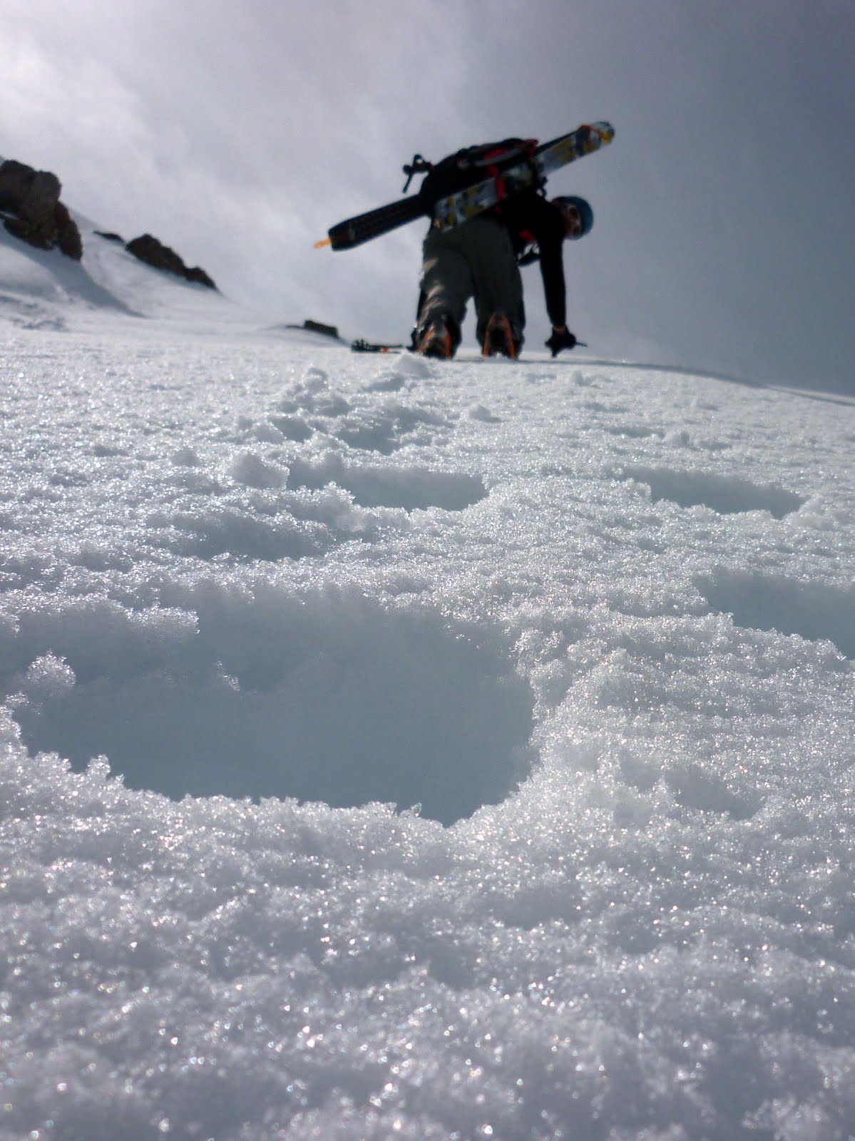
Ascending the steepest part of the climb about 500' from the top.
This part was pretty steep too...
 The snow was steep and firm enough that we decided against skiing the upper 1,000' or so.  Around 10,000' I side-slipped until it became somewhat edge-able.  Good times...

Matt down climbing some steep, hard "snow".


You can almost hear how sweet the skiing is in this picture...it sounds like the ocean.
Off the steeps there were some great wind buffed turns.  It was nice to be able to snap a few fun turns in.

Matt Paul cranks some soft chalk.


Another fun turn.
On the Eliot there were even a few good corn turns.  I love how snow changes.

Fun turns were all over the Elliot Glacier and below.

Every good ski tour ends with a nice walk in the woods.