Tuesday, May 1, 2012

Mount Saint Helens: in the PNW get above the clouds ~ ~ ~


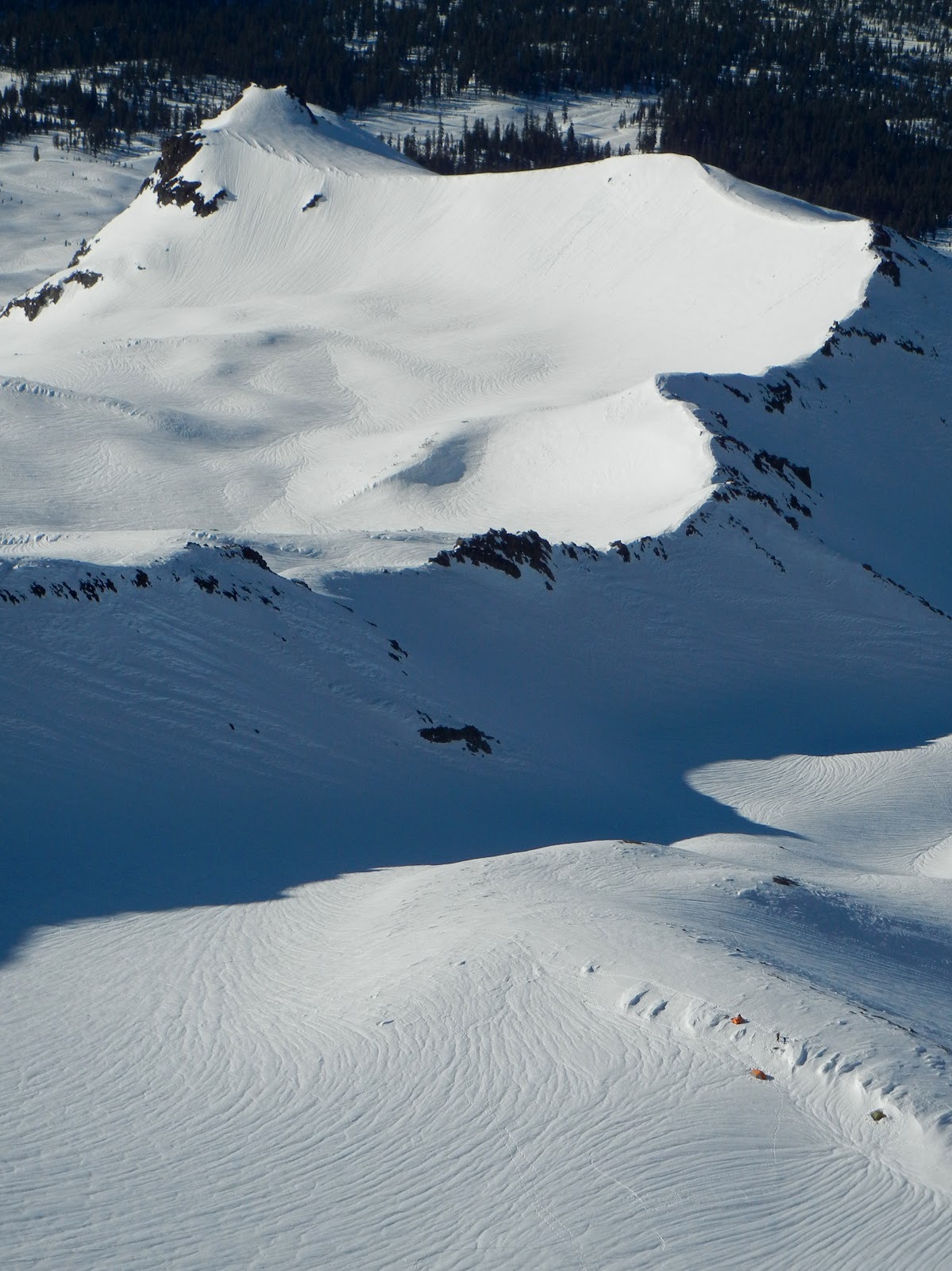
The Mount Saint Helens White Room.
We were treating this as a training trip.  The weather was supposed to be miserable.  And it started out just as it was supposed to: gray, gloomy and moist.

Matt Paul avoiding a large hole in the Worm Flow moraines.
But, as it happens in the Pacific Northwest, if you don't like the weather you have to change your altitude.  As we got higher on the mountain we out-climbed the clouds and broke though the cloud ceiling that was thick everywhere below 5,000'.

Perseverance paid off and the clouds cleared just above 5,000'.

Above the cloud the unfiltered sun bore down on us.  It's been two days since we did this climb and my thighs are still burning from opening my ski pant vents and not sun-screening my legs.  We climbed fast and made the most of the good weather.

Matt churning up the Monitor Ridge towards the crater rim of Mount Saint Helens.


Matt taking a breather at 8,000'.


Me standing on the Crater Rim.  The true summit is the far peak in the background with the HUGE cornice.  Photo: Matt Paul.

Matt at the crater's edge.

Me on the rim of the smoking caldera.  This is a must see!  Even if the skiing is awful, the views make the trip well worthwhile.  Photo: Matt Paul.

Me peering into the center of St Helen's Crater Rim.  Photo: Matt Paul.

Me standing on the true summit of Mount Saint Helens.  HUGE cornice.  Photo: Matt Paul.
The snow was much stickier than expected, but there were a few good turns to be had above 6,000'. Below that and it was survival skiing.  The transitioning snow varied between velcro and glue and it was a struggle not to have a leg ripped off.  But heh, skiing's always better than walking right?

Matt descends a rib of Monitor Ridge with Mount Adams jutting above the clouds.
What goes up must come down.  So we set off into the clouds back to the trail head.  The only way to keep glide was to ski on skin tracks and  the snowshoes packed trail.  We kept a few snow-shoers on their toes on the way down.

The skiing below 6,000' wasn't amazing, but Matt made it look alright.

Descending below the cloud deck on volcanic moraines.


Friday, April 27, 2012

Casaval Ridge: There is snow in CA


Sun setting on Mount Shasta and Shastina to the West.

With the sparse snowpack in the Eastern Sierra this winter, I decided the plan should be to head north to the snowy peaks of the Cascade Range.  Many of the ski resorts in the North Cascades are boasting over 500 inches of snowfall for the year.  Crystal is currently at 557" and Mount Baker, which hasn't even counted any of the snow from April yet, is at 777".  While there is sure to be a bit of the normal marketing bias in those numbers, the trend is lotsa snow!

With Matt Paul riding shotgun, we headed decided to truck past Lassen straight to Mount Shasta.  Lassen looked fat, but we were on a mission.  After spending a quick night out at Bunny Flat, we got an early start.  We began skinning at 4:30am and we could already feel the warm breeze blowing out of the west.  The temps in town were expected to be 80 degrees F so we wanted to get on top early and catch the snow right when the corn was perfect.

Skinning up Avalanche Gulch with the snow already soft below 9,000'.

The snow was already soft in the lower elevations, so we decided to skin up Avalanche Gulch until the snow got firm enough to boot pack up Casaval Ridge, one of the most classic lines on the second tallest Cascade Volcano.  

Matt climbing runnels on the way to the Second Window.

The bootpacking started off a little punchy as we ascended toward Casaval Ridge's Second Window.  Soon enough, the snow became firm and supportable and the climbing became more consistent and fun.  

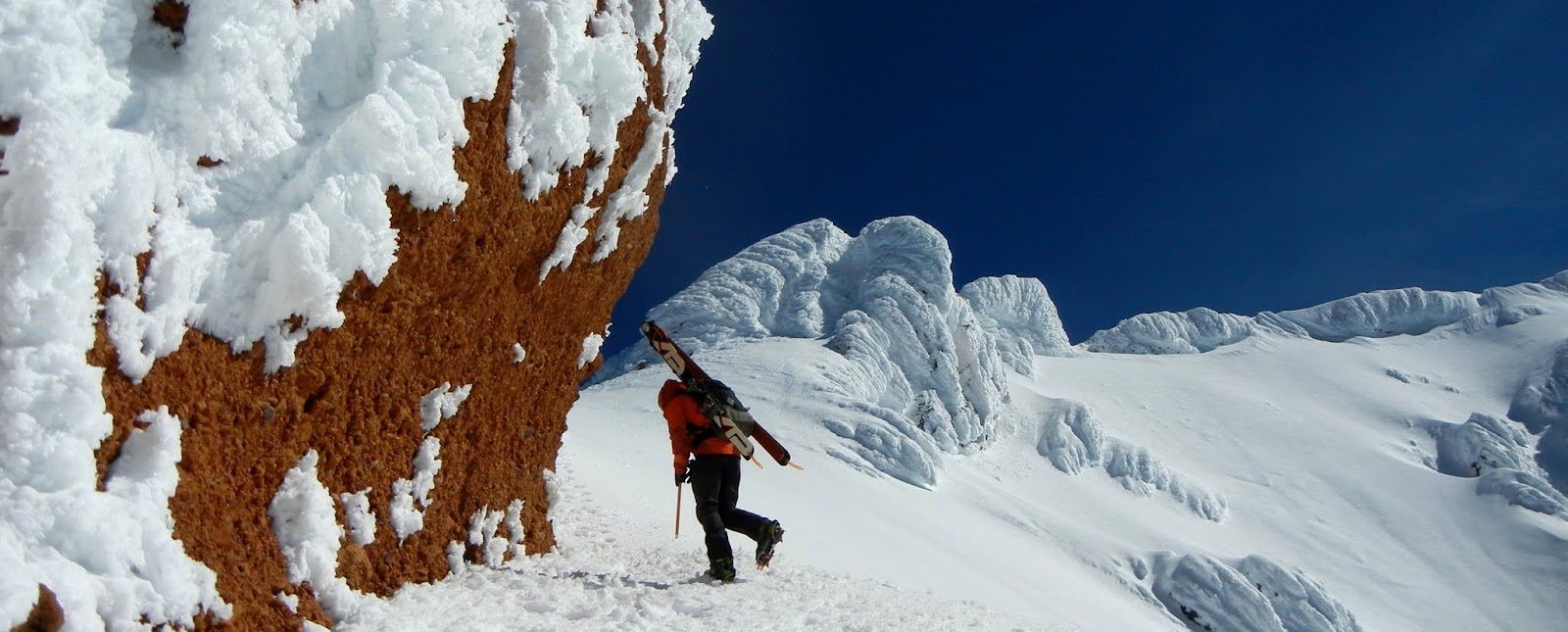
Chris Carr, owner of Shasta Mountain Guides, and SMG guide Matt Paul, climb on Casaval's west side.


Tents dot the rim of Lake Helen at 10,400'.
The affects of the past few days of heat and sun had left their mark on the south and eastern slopes of Avvy Gulch.  We were hoping that trend would help us in our search for the best agricultural product California offers: Corn!

Chris fights rime ice to gain a steep section of the ridge.
As we got higher on the mountain, the winds increased.  The snow was not even hinting at softening up.  Corn snow, or no, the climbing was great and we kept cruising up.

Some epic rime ice formations below the Catwalk.
Chris climbs around the rim of the Trinity Chutes.  The next person to catch this in corn is going to be psysched!


Chris and Matt entering the Catwalk.

Ascending the steep and rimed Catwalk.
SMG Guide Dane Brinkley tops out on the Catwalk.

When we ascended the summit plateau, the wind was blowing around 30 mph, enough to push you around a bit.  There was no way it was going to soften anywhere on the upper mountain.  The massive rime and deep blue skies were incredible though.
 

Dane and Matt topping out on Shasta's rimed summit block.
As temping as the Trinity Chutes were, we opted to ski the West Face's smoother less runnelled snow.


Chris rips some hardpack on the West Face.

There's a whole season of corn skiing ahead on Mount Shasta.  Now all we need is a little high pressure.  Get some.


Sunday, January 29, 2012

Climbing Ecuador's Volcanoes: Cotopaxi


In Ecuador, Cotopaxi is second in height only to 20,702' Chimborazo.  It's summit is 19,343' and the climbing is a staggering maze of crevasses and seracs.  Linking snowbridges and fins of ice is the only way to make it through some sections of the formidable glacier.  Sections of exposed climbing, hanging glaciers and amazing views make this volcano an exciting climb the moment you step onto the glacier.


Hail and graupel pelting us on our way to the Cotopaxi Hut.


As we ascended to the Jose F. Rivas Refugio, tall cumulus clouds collected, lighning and thunder clapped close by and it began to hail.  This is not usually the way you want to start a mountaineering trip.  We put our heads down and forged our way up.  Nearing the hut at 15,900', the hail tapered off and skies began to clear. 

Our team pulling into the Refugio.

Soon we had clear views of the mountains blanketed with a fresh layer of hail.

The next morning during our push for the summit, the hail that had greeted us on the way up to the hut reared it's ugly head once again.  The snow was loose and made every step difficult.

My team pushing hard through the crumbling snow.  
The most technical part of the climb was the large crevasse near 18,000'.  This maze took a little exploring to find a way through.

The road less traveled.

Continuing upward we were greeted with stunning views.  Just enough cloud cover to make the dawn light up orange clouds.

Hues of morning light peer over the ridge and illuminate the glacier's north face.


Above 18,000' the altitude takes affect and the slogging begins getting harder.

Hanging glaciers creeping over the volcanic rock below.


The traverse toward the summit.  The route here is a bit circuitous, as you can see from the teams on the far right of the picture.


Ice features and steep climbing make this a really fun climb.

The last pitch toward the summit.


Me with fellow RMI guide, Jake Beren on Cotopaxi's Summit.

From the summit, the void of the volcanic crater is amazing.  Looking down into this dark pit surrounded by snow-covered ice is an incredible feeling.  It has been said that Cotopaxi means "Smooth neck of the moon" and this view justifies that name.


Our tracks meandering down the glacier stand out against the untouched new snow.

A cloudless and windless, the descent was hot but beautiful.

Sunday, January 22, 2012

Climbing Ecuador's 5,000m Volcanoes: Cayambe

Ecuador is a country famous for three things: the Galapagos Islands, the Amazon river and huge, glaciated volcanoes.  If you count Iliniza Sur and Norte as separate peaks, Ecuador has 10 mountains taller than 5,000m (16,400').  Guiding an Ecuador's Volcanoes trip, I was lucky to tackle two 5000+ meter peaks, Cayambe and Cotopaxi.  I'm kicking myself for not allowing a little extra time for tropical weather and water, but the volcanoes were amazing.

The ablation zone of Cayambe's Glacier.


The first mountain we climbed was Cayambe.  This mountain is bisected by the equator and it's summit towers 18,997 feet in elevation.  While the glaciers are shrinking rapidly, the mass of ice covering the summit to 16,000' is impressive. 

The first rays of morning sun peer above the horizon, illuminating the glacier above our team.

The bright white of the alpine environment contrasts with the lush greens and fertile brown hues of volcanic rock and soil below.
Freakish ice features loom in all directions creating a surreal glacial landscape.

At elevations nearing 19,000' it becomes much harder to pull enough oxygen out of the thin air.  In the last few hundred vertical feet, every exertion requires a few extra breathes.

The team traverses under an icicle covered crevasse wall at about 18,600'.

...and ascends the final steep pitch toward the summit.


Standing on top!


Descending back down the glacier it looks and feels like the Sahara.  It's ironic since we're on a massive chunk of ice, but this is some of the most intense solar radiation and heat I've experienced.  No one on our team is spared from at least one random sliver of sunburn.


The team descends the barren ice-scape.

...and we walk down to green earth and thick air.